Add your own picture and explain the route, parking, gates, paths or landmarks that help people find it.
Earn 5 points after the picture is checked and accepted.
Add your photo and local directionsShare what you foundWhat is recorded here
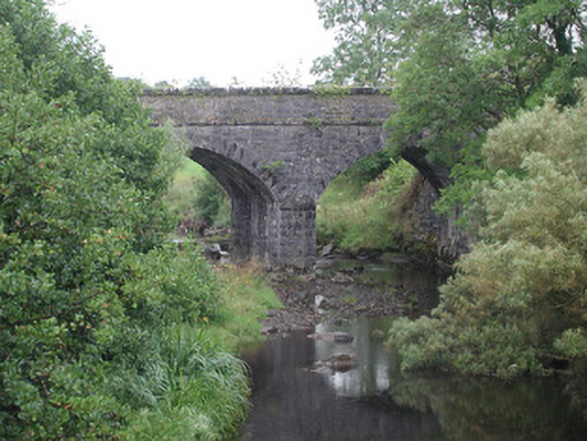
Double-span limestone former railway-over-river bridge, built c. 1890, no longer in use. Squared-and-snecked rubble stone walling, squared-and-snecked rubble stone abutments with ashlar stone raking copings, rock-faced string course at deck level. Segmental arches, rock-faced margined ashlar limestone voussoirs. Squared-and-snecked rubble stone pier and abutments, triangular cutwaters with pyramidal cap to east. Squared-and-snecked rubble stone parapets with rock-faced copings. Spans from north-south over Owengarve River. Weir to south, arch over mill stream to north.
This official record and map point do not grant access. Most recorded buildings are privately owned; view them only from public ground unless the owner allows entry.