Add your own picture and explain the route, parking, gates, paths or landmarks that help people find it.
Earn 5 points after the picture is checked and accepted.
Add your photo and local directionsShare what you foundWhat is recorded here
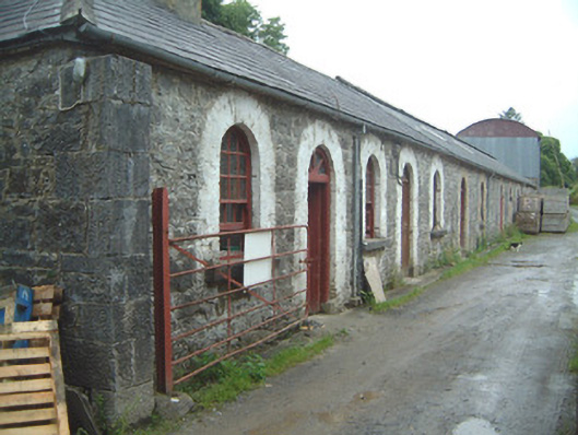
Complex of single- and two-storey stone farm buildings, built c. 1830. Thirteen-bay single-storey range to north running full length of yard, single-storey L-plan lean-to stall buildings to east and south, two-storey gable-fronted projecting block to centre of south side dividing complex into two yards, single-storey range to west, modern single-storey extension linking west range and central block. Now in use as food processing facility. Pitched slate roofs, hipped to west range, corrugated-asbestos to part of north range, clay ridge and hip tiles, smooth-rendered stepped and corbelled chimneystacks, cast-iron rainwater goods, cast-iron columns carrying outer edge of stall buildings. Uncoursed rubble limestone walls, cut limestone quoins, cut limestone verge copings to gables of two-storey block. Round-headed window openings to north range, yellow brick surrounds (some painted), tooled limestone sills, painted twelve-over-eight timber sash windows. Square-headed window openings to central block, block-and-start yellow brick surrounds, limestone sills, vertically-sheeted timber panels, with some cast-iron fixed casements. Round-headed door openings to north range, yellow brick surrounds, spoke wheel fanlights, painted timber panelled doors. Set in grounds of private demesne with walled garden to south, surrounded by mature farmland.
This official record and map point do not grant access. Most recorded buildings are privately owned; view them only from public ground unless the owner allows entry.