Add your own picture and explain the route, parking, gates, paths or landmarks that help people find it.
Earn 5 points after the picture is checked and accepted.
Add your photo and local directionsShare what you foundWhat is recorded here
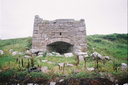
Detached limestone lime-burning kiln, built c. 1900, now ruinous. Square plan. Uncoursed rubble walling, squared rubble quoins. Segmental-headed fuel opening, splayed jambs to firebox aperture. Infilled with rubble, grassed-over, close to high-water mark on north shore of Oyster Island.
This official record and map point do not grant access. Most recorded buildings are privately owned; view them only from public ground unless the owner allows entry.