Add your own picture and explain the route, parking, gates, paths or landmarks that help people find it.
Earn 5 points after the picture is checked and accepted.
Add your photo and local directionsShare what you foundWhat is recorded here
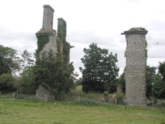
L-plan range of two-storey outbuildings to east of ruinous country house, built c.1830, comprising U-plan coach house and stables now in use as private house. Rear of house faces onto courtyard. Pitched slate roof with terracotta ridge tiles and stone chimneystacks. Random coursed stone walls, rendered to north-facing elevation. Square-headed window openings with replacement aluminium frames. Adjacent outbuilding with half-hipped slate roof and random coursed limestone walls, now in use as farm building. Pedimented bellcote to yard and fuel store with pointed-arch openings. Derelict U-plan coach house and stables with squared limestone walls and tooled limestone cornice and quoins, having family crest set into wall. Limestone surrounds to carriage arch and door openings and red brick surrounds to window openings. Additional coach house to east, accessed through wrought-iron gate with ashlar stone piers. Three-bay single-storey gate lodge to south, with attic storey. Nearby is ruin of three-bay three-storey former country house over basement, built c.1830.
This official record and map point do not grant access. Most recorded buildings are privately owned; view them only from public ground unless the owner allows entry.