Add your own picture and explain the route, parking, gates, paths or landmarks that help people find it.
Earn 5 points after the picture is checked and accepted.
Add your photo and local directionsShare what you foundWhat is recorded here
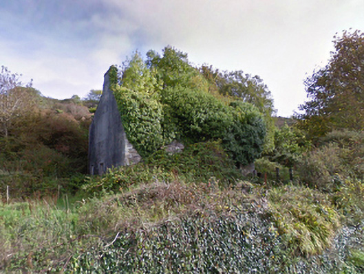
Detached three-bay two-storey manse, dated 1876; extant 1896, on a T-shaped plan centred on single-bay single-storey gabled projecting porch to ground floor. Occupied, 1911. Vacated, 1959[?]. Now in ruins. Pitched roofs now missing with rendered chimney stacks having cut-limestone stringcourses below capping supporting terracotta or yellow terracotta pots, and rainwater goods not visible on overgrown eaves. Overgrown coursed or snecked limestone wall to front (west) elevation originally rendered with date stone-inscribed ("1876") drag edged tooled cut-limestone quoins to corners; rendered surface finish (remainder). Square-headed window openings with dressings not visible. Set back from line of road in overgrown grounds.
This official record and map point do not grant access. Most recorded buildings are privately owned; view them only from public ground unless the owner allows entry.