Add your own picture and explain the route, parking, gates, paths or landmarks that help people find it.
Earn 5 points after the picture is checked and accepted.
Add your photo and local directionsShare what you foundWhat is recorded here
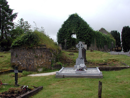
Cemetery established on the site of a former seventeenth-century Franciscan friary with remains of friary buildings, variety of eighteenth- and nineteenth-century stone grave markers, ruinous ashlar mausoleum and boundary wall. Site enclosed by random sandstone wall, built c.1800, and is bounded by River Shannon to north-east. Gateway to south-west wall with wrought-iron gate and concrete lintel with cross above. Concrete path flanked by yew trees.
This official record and map point do not grant access. Most recorded buildings are privately owned; view them only from public ground unless the owner allows entry.