Add your own picture and explain the route, parking, gates, paths or landmarks that help people find it.
Earn 5 points after the picture is checked and accepted.
Add your photo and local directionsShare what you foundWhat is recorded here
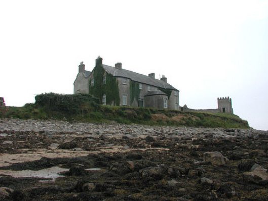
Detached five-bay two-storey country house, built c.1750, with D-plan porch, bowed end bays to façade and six-bay two-storey extension to rear. Walls of demolished return now form a courtyard. Pitched slate and tiled roofs with rendered chimneystacks with terracotta pots. Ruled-and-lined render to walls. Replacement uPVC windows. Timber panelled door to side elevation, approached by stone steps. Some openings have been blocked up. Derelict two-storey stone outbuilding with cut stone voussoirs to openings and a pitched roof. Single-storey derelict byres to south-west. Series of walled gardens and enclosures with castellated random stone folly tower with gun loops on cliff-top to north. Freestanding castellated folly tower to south-west with roughly coursed random stone and fossilised stone to walls.
This official record and map point do not grant access. Most recorded buildings are privately owned; view them only from public ground unless the owner allows entry.