Add your own picture and explain the route, parking, gates, paths or landmarks that help people find it.
Earn 5 points after the picture is checked and accepted.
Add your photo and local directionsShare what you foundWhat is recorded here
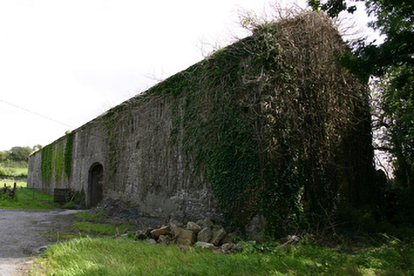
Courtyard of two-storey outbuildings, built c.1800, associated with Cappard House, latter now demolished. Yard formerly comprised F-plan arrangement of buildings, lower bar of 'F' now demolished. Eight-bay long block largely blank to its rear elevation except for vehicular throughway towards west end. Eleven-bay block at right angle to east end. Pitched slate roofs with some clay ridge tiles, and tooled limestone eaves course. Rubble limestone walls, rendered to east range and east end of north range. Scarring and interlock rubble indicates site of missing block. Square-headed window openings, some with red brick relieving arches to east range, and square-headed window openings with rounded corners to north range, latter having tooled limestone block-and-start surrounds. Square-headed door openings to east range. Elliptical-headed vehicular entrances to north range with tooled limestone block-and-start surrounds. Rubble limestone wall to roofless overgrown addition to south-west. Snecked dressed rubble limestone boundary wall to south. Recent single-storey slatted cattle shed to south.
This official record and map point do not grant access. Most recorded buildings are privately owned; view them only from public ground unless the owner allows entry.