Add your own picture and explain the route, parking, gates, paths or landmarks that help people find it.
Earn 5 points after the picture is checked and accepted.
Add your photo and local directionsShare what you foundWhat is recorded here
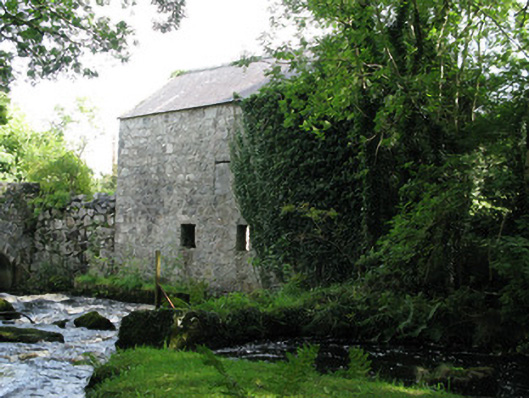
Freestanding three-bay three-storey former mill, built c.1860, having remains of millrace to north-west, now in use as barn. Pitched slate roof with clay ridge tiles and render coping to gables. Rubble-stone walls with corbels to eaves of south-east side elevation. Square-headed window openings having roughly dressed stone lintels and surrounds, windows missing with openings to north-west elevation blocked with rubble. Square-headed door openings having of iron girder lintels, tooled stone block-and-start surrounds (to ground floor). Blocked loading bay to first floor of south-east side elevation. Iron-girder with rubble-stone voussoirs and battened timber door to first-storey of side (north-east) elevation. Mill-race to north-west elevation having stone block wall dividing mill-race from river with rubble-stone pier to divert water to head-race (now blocked). Timber beam floors and stairs survive to the interior. Located beside Clydagh Bridge with rubble-stone abutments linking bridge with mill.
This official record and map point do not grant access. Most recorded buildings are privately owned; view them only from public ground unless the owner allows entry.