Add your own picture and explain the route, parking, gates, paths or landmarks that help people find it.
Earn 5 points after the picture is checked and accepted.
Add your photo and local directionsShare what you foundWhat is recorded here
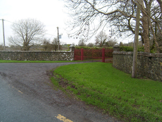
Entrance gateway, erected c.1850, serving Ballyglunin House. Comprising pair of square-plan decorative open cast-iron piers with decorative double-leaf cast-iron gates, flanked by pair pedestrian gates. Square-plan ashlar limestone piers with string course and pyramidal caps to outer ends of gateway, with curvilinear coursed random rubble limestone walls with flat rubble copings to road. Set at roadside with gate lodge opposite. Lodge is detached L-plan three-bay single-storey with dormer attic house, built c.1850, now ruined. Pitched roof, with slate-roofed lean-to projecting window bay to north and east gables. Squared and snecked limestone rubble walls to north and east elevations, with coursed random rubble limestone walls to west and south. Corbels to gables and coved cornice to eaves. Square-headed openings with tooled limestone lintels and sills. Set at roadside with no boundary to rear, and yard to north.
This official record and map point do not grant access. Most recorded buildings are privately owned; view them only from public ground unless the owner allows entry.