Add your own picture and explain the route, parking, gates, paths or landmarks that help people find it.
Earn 5 points after the picture is checked and accepted.
Add your photo and local directionsShare what you foundWhat is recorded here
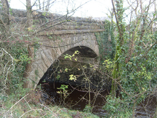
Twelve or thirteen-arch road bridge, over River Clare. Ten western round arches are of probable seventeenth-century date, seventh arch being over original channel of river, and twelfth segmental arch is dated 1848. North elevation of western arches flanked by cutwaters with pedestrian refuges above. Bridge widened to south side, possibly during drainage works of 1848. Segmental arch to river has draughted and pecked limestone voussoirs to arch rings, coursed hammer-finished ashlar limestone to spandrels and parapets, dressed hammer-finished limestone copings with modern decorative metal lantern brackets and square-edged string course to parapet. Plaque to inner face of north parapet reads 'Corofin Bridge Drainage Commission 1848' and also bears crow's foot benchmark. Random rubble limestone walls to adjacent fields with stile and stone steps to east. Tarmacadamed carriageway.
This official record and map point do not grant access. Most recorded buildings are privately owned; view them only from public ground unless the owner allows entry.