Add your own picture and explain the route, parking, gates, paths or landmarks that help people find it.
Earn 5 points after the picture is checked and accepted.
Add your photo and local directionsShare what you foundWhat is recorded here
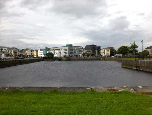
Rectangular-plan basin, built c.1880, enclosed on all sides, with quayside to west, wall dividing basin from River Corrib to east, and L-plan pier to south, with channel between wall and pier having canal lock at north end. Entrance to Eglinton Canal to north-west. Dressed limestone block construction throughout, with limestone steps to west and south having wrought-iron hand-rails. Lock comprises replacement paired gates of wrought-iron or steel, having gate niches, block slots and pole holes to sides with cast-iron mooring ring and sluice rack to west side. Recent concrete road bridge narrows mouth of canal.
This official record and map point do not grant access. Most recorded buildings are privately owned; view them only from public ground unless the owner allows entry.