Add your own picture and explain the route, parking, gates, paths or landmarks that help people find it.
Earn 5 points after the picture is checked and accepted.
Add your photo and local directionsShare what you foundWhat is recorded here
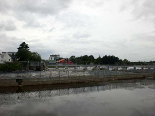
Banks of Lower Corrib River, canalised c.1750, following relatively straight course from Salmon Weir, southwards into Galway Bay. Three bridges cross this section of river, Salmon Weir Bridge, William O'Brien Bridge and Wolfe Tone Bridge. Banks consist of mixture of stone rubble and limestone blockwork lining with several tributaries to western bank from mill races and Eglinton Canal at southern end of river. Also mill races to eastern bank north of William O’Brien Bridge. Mill races feeding into river enter it either via stone block construction weirs with remains of cast-iron fixings from now absent sluice mechanisms or through stone-lined channels, quality of which varies between finely constructed ashlar lining and rougher rubble and mortar work. Many mills associated with these races still stand and mainly concentrated on western bank where they are built right on river edge with walls acting as part of raised embankments which line length of river to protect against flooding. Other large feature of Lower Corrib is salmon trap comprising concrete piers with metal salmons traps between them.
This official record and map point do not grant access. Most recorded buildings are privately owned; view them only from public ground unless the owner allows entry.