Add your own picture and explain the route, parking, gates, paths or landmarks that help people find it.
Earn 5 points after the picture is checked and accepted.
Add your photo and local directionsShare what you foundWhat is recorded here
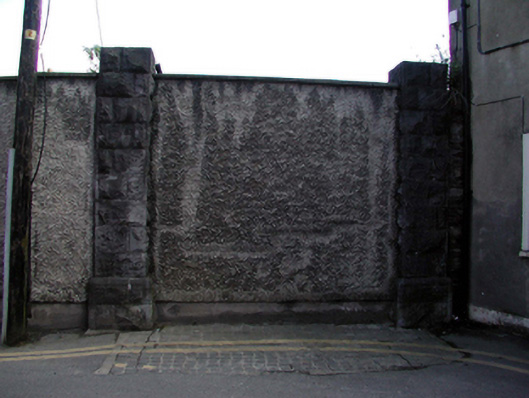
Gateway, c.1870, comprising pair of rusticated limestone ashlar piers with tooled detailing to rear (south) elevation. Blocked-up, c.1980, with unpainted roughcast over to accommodate use as boundary wall. Road fronted with remains of stone cobbling to former opening.
This official record and map point do not grant access. Most recorded buildings are privately owned; view them only from public ground unless the owner allows entry.