Add your own picture and explain the route, parking, gates, paths or landmarks that help people find it.
Earn 5 points after the picture is checked and accepted.
Add your photo and local directionsShare what you foundWhat is recorded here
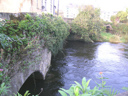
Group of three limestone bridges, spanning two branches and one former branch of River Suir and connecting Suir Island, Stretches Island and Oldbridge area. Northernmost bridge is two-arch limestone, built c.1775, aligned east-west, and renovated c.1900, having segmental arches, rubble wallings, cut limestone voussoirs and with rendered V-cut-water to north elevation. Middle bridge is three-arch, built c.1700 and renovated c.1950, aligned north-east and south-west, having segmental arches, southern being depressed, with roughly dressed quoins. Southernmost bridge over dry former river channel, is five-arch, built c.1650 and widened and renovated c.1750, aligned north-south, having elliptical arches, rubble walling, narrow roughly dressed voussoirs.
This official record and map point do not grant access. Most recorded buildings are privately owned; view them only from public ground unless the owner allows entry.