Add your own picture and explain the route, parking, gates, paths or landmarks that help people find it.
Earn 5 points after the picture is checked and accepted.
Add your photo and local directionsShare what you foundWhat is recorded here
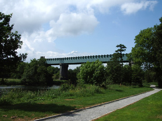
Triple-span railway viaduct over River Suir, built 1852, on railway line between Limerick and Rosslare Harbour. Comprises wrought-iron box girders supporting transverse girders across bottom flanges, supported on paired octagonal-plan cut limestone masonry piers in river, in turn borne on battered coursed rock-faced limestone bases with U-cutwaters to each end, piers having plinths with moulded copings and tops supported on moulded corbelled courses and stepped coursed cut limestone salients to south side. Landward abutments with similar detailing to river piers, but consist of single masonry mass with recessed half-round ends and canted piered ends to projecting front faces, centres of faces slope back upwards. Landward ends of superstructure girders hidden behind castellated half-hexagonal cut limestone turret-like façades having pointed-arch openings to centre facets. Cut limestone walls extend from turrets, with octagonal cut limestone terminials with corbelled tops and finials.
This official record and map point do not grant access. Most recorded buildings are privately owned; view them only from public ground unless the owner allows entry.