Add your own picture and explain the route, parking, gates, paths or landmarks that help people find it.
Earn 5 points after the picture is checked and accepted.
Add your photo and local directionsShare what you foundWhat is recorded here
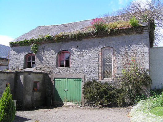
Detached L-plan double-height former Presbyterian meeting house, built 1739, with recent single-storey concrete block walled extension to northwest with corrugated metal walls and roof, and recent single-storey flat-roofed extension to south end of east elevation. Now disused. Pitched slate roof with red brick eaves course. Rubble limestone walls. Segmental-headed window openings with roughly dressed limestone voussoirs, some with brick facings to window reveals, some with remains of timber fittings. Recently-cut door openings to east and south elevation. Blocked window opening to south elevation, blocked door opening to north gable with dressed limestone voussoirs. Door opening to first floor of west gable has roughly dressed limestone voussoirs, with concrete block external staircase.
This official record and map point do not grant access. Most recorded buildings are privately owned; view them only from public ground unless the owner allows entry.