Add your own picture and explain the route, parking, gates, paths or landmarks that help people find it.
Earn 5 points after the picture is checked and accepted.
Add your photo and local directionsShare what you foundWhat is recorded here
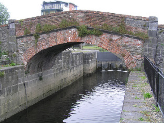
Single-arch hump-back red brick and limestone canal bridge, erected in 1757, crossing the canal at Lock Quay canal harbour. In use as footbridge. Rubble limestone and red brick west elevation laid in English garden wall bond, with red brick parapet wall and brick coping rising from a moulded limestone stringcourse, returning on the curve along quay sides. Limestone ashlar faced east elevation with wrought-iron railed parapet having spearhead finials, c. 1800, returning on the curve along quaysides. Gauged red brick slightly pointed arch springing from squared limestone block faced quay walls. Limestone ashlar abutment piers. Limestone setts to carriageway, c. 1995. Bridge gives access to nineteenth-century multiple-bay two-storey limestone rubble buildings to the north of the canal.
This official record and map point do not grant access. Most recorded buildings are privately owned; view them only from public ground unless the owner allows entry.