Add your own picture and explain the route, parking, gates, paths or landmarks that help people find it.
Earn 5 points after the picture is checked and accepted.
Add your photo and local directionsShare what you foundWhat is recorded here
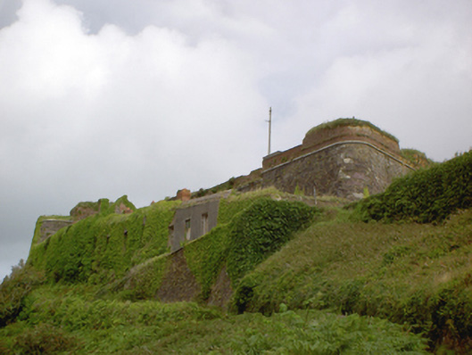
Irregular-plan fortification, built c. 1800, comprising semi-circular projection to west elevation, flanked by irregularly curved ramparts terminating in demi-bastions to north-east and south-east, with ramparts continuing to form bastion to east elevation. Incorporating fabric of earlier buildings and various later additions and repairs. Roughly dressed sandstone walls with limestone string courses and dressings to openings. Some red brick additions and repairs. Remains of various buildings to site. Enclosed deep fosse constructed c. 1870.
This official record and map point do not grant access. Most recorded buildings are privately owned; view them only from public ground unless the owner allows entry.