Add your own picture and explain the route, parking, gates, paths or landmarks that help people find it.
Earn 5 points after the picture is checked and accepted.
Add your photo and local directionsShare what you foundWhat is recorded here
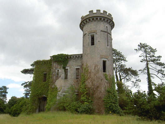
Detached irregular-plan multiple-bay two-storey folly, built c. 1820, comprising central rectangular-plan three-bay two-storey block with square-plan single-bay two-storey block to north-east elevation and paired circular-profile three-stage towers to south-west elevation, that to north taller. Now disused. Flat roofs with carved limestone machicolated eaves, carved limestone crenellations and machicolations to towers. Random rubble limestone walls with cruciform recesses with chamfered limestone surrounds. Square-headed window openings with carved limestone label mouldings and chamfered limestone surrounds. Tudor-arched carriage-arch opening to north-east block with carved limestone surround. Tudor-arched door opening to central block with carved limestone surround. Carved timber spiral staircase to interior of east tower. Cut limestone quay walls and loading dock to west.
This official record and map point do not grant access. Most recorded buildings are privately owned; view them only from public ground unless the owner allows entry.