Add your own picture and explain the route, parking, gates, paths or landmarks that help people find it.
Earn 5 points after the picture is checked and accepted.
Add your photo and local directionsShare what you foundWhat is recorded here
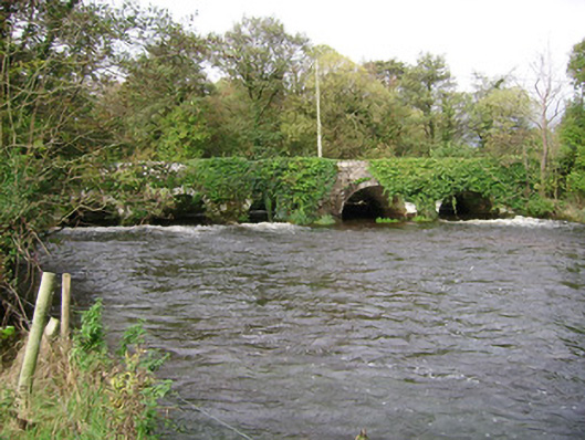
Six-arch rubble stone bridge carrying road over Awbeg River, built c. 1650, widened to north-west, upstream elevation c. 1780. Round walls and arches, with long rubble voussoirs to south-east elevation and roughly dressed voussoirs and V-cutwaters to north-west elevation. Causeway road with three round-headed arches approaches bridge from north-east crossing flood plain. Stone platform for water pump to south-west.
This official record and map point do not grant access. Most recorded buildings are privately owned; view them only from public ground unless the owner allows entry.