Add your own picture and explain the route, parking, gates, paths or landmarks that help people find it.
Earn 5 points after the picture is checked and accepted.
Add your photo and local directionsShare what you foundWhat is recorded here
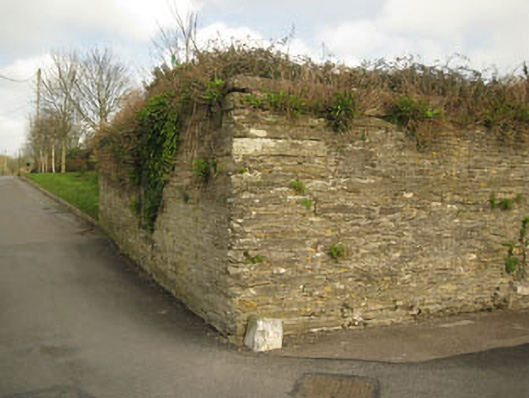
Freestanding enclosing wall, built c.1800, incorporating remains of various buildings. Historically used as enclosure of military barracks. Rubble stone walls built to courses with rusticated limestone quoins. Red brick repairs and red brick additions to south-east elevation. Structural remains such as voussoirs and surrounds of now blocked windows and doors also to south-west. Jostle stones with Ordnance Survey benchmarks and lettering to corners (north-west, south-west). Located on slope (north-west to south-east) with recent factory to interior.
This official record and map point do not grant access. Most recorded buildings are privately owned; view them only from public ground unless the owner allows entry.