Add your own picture and explain the route, parking, gates, paths or landmarks that help people find it.
Earn 5 points after the picture is checked and accepted.
Add your photo and local directionsShare what you foundWhat is recorded here
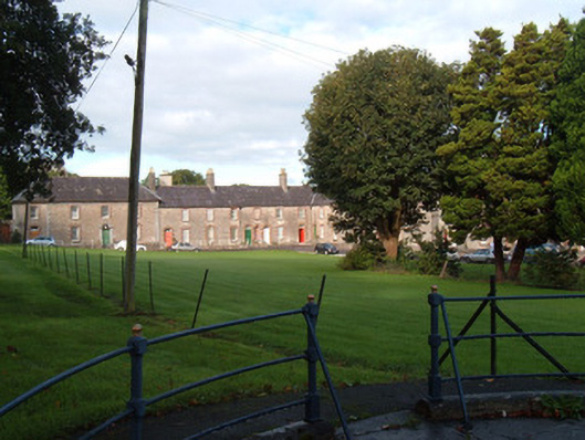
Park, laid out c.1780, as part of the planned development of King's Square. Comprising rectangular lawned space surrounded on all sides by two-storey houses. Roads along sides and east-west through square and diagonally across south-east quadrant. Tree-lined along east-west road and having cast-iron fountain just north of centre of park. Wrought-iron railings around perimeter of park.
This official record and map point do not grant access. Most recorded buildings are privately owned; view them only from public ground unless the owner allows entry.