Add your own picture and explain the route, parking, gates, paths or landmarks that help people find it.
Earn 5 points after the picture is checked and accepted.
Add your photo and local directionsShare what you foundWhat is recorded here
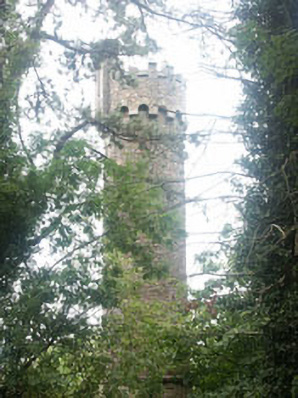
Freestanding turret, built 1875, on a circular plan. The structure is constructed in rubble fieldstone. The turret has a castellated top with decorative machicolation. There is a square tourelle which is set on a corbelled base. The turret is set within what was the Hollybrook estate approximately half a kilometre to the south-east of Hollybrook. It is set on a rise with a wooded area.
This official record and map point do not grant access. Most recorded buildings are privately owned; view them only from public ground unless the owner allows entry.