Add your own picture and explain the route, parking, gates, paths or landmarks that help people find it.
Earn 5 points after the picture is checked and accepted.
Add your photo and local directionsShare what you foundWhat is recorded here
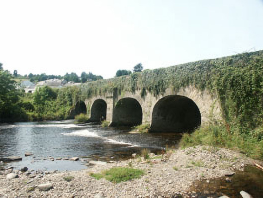
Five-arch road bridge over the Avonmore River, built c.1780, but probably widened in the mid 19th century. The bridge is constructed in rubble but largely covered in ivy growth to the south side. Four of the arches are evenly spaced with that to the east end, a ‘flood arch’ is set further apart. The south side is markedly different than the north, with the arches to the south elliptical with rough voussoirs and plain piers, whilst those to the north are segmental with dressed voussoirs and piers with rounded breakwater, all suggesting the bridge has been widened to the north side. The central pier to the south side has a corbelled projection above arch level.
This official record and map point do not grant access. Most recorded buildings are privately owned; view them only from public ground unless the owner allows entry.