Add your own picture and explain the route, parking, gates, paths or landmarks that help people find it.
Earn 5 points after the picture is checked and accepted.
Add your photo and local directionsShare what you foundWhat is recorded here
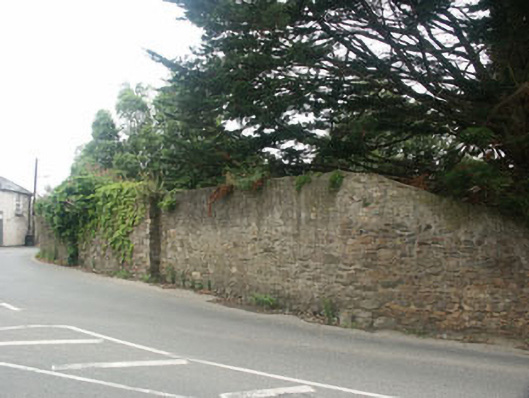
Tall curving rubble-built wall, built c.1725, enclosing the north-west boundary of the grounds of a former rectory. The wall is hard onto the road at the centre of the village of Delgany and lowers to the south end, eventually merging with a much lower wall with railings which encloses the forecourt of the house itself. The wall is largely in rubble stone, but displays evidence of once being completely rendered; a small portion to the south is finished in a roughcast render of c.1900 whilst other portions are now covered with creeping plant growth. To the south end, there is a carriage gateway with square piers and timber gate, whilst some distance to the north of this, there is a further projecting stone pier.
This official record and map point do not grant access. Most recorded buildings are privately owned; view them only from public ground unless the owner allows entry.