Add your own picture and explain the route, parking, gates, paths or landmarks that help people find it.
Earn 5 points after the picture is checked and accepted.
Add your photo and local directionsShare what you foundWhat is recorded here
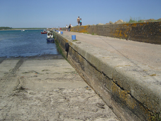
Pier, dated 1884-5, on a rectangular plan with mass concrete battered walls on submerged concrete block foundations having lichen-spotted cut-granite rounded coping supporting cast-iron mooring loops. Set extending into Saint George's Channel.
This official record and map point do not grant access. Most recorded buildings are privately owned; view them only from public ground unless the owner allows entry.