Add your own picture and explain the route, parking, gates, paths or landmarks that help people find it.
Earn 5 points after the picture is checked and accepted.
Add your photo and local directionsShare what you foundWhat is recorded here
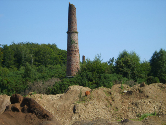
Lead mine complex, reopened 1836, including (south): Freestanding chimney on a circular plan. Now disused. Part creeper- or ivy-covered red brick Common bond walls on cut-granite beaded cushion course on rendered or roughcast base with capping now missing; (north): Freestanding chimney on a circular plan. Now disused. Creeper- or ivy-covered red brick Common bond walls on cut-granite beaded cushion course on overgrown base with capping now missing. Set in wooded grounds.
This official record and map point do not grant access. Most recorded buildings are privately owned; view them only from public ground unless the owner allows entry.