Add your own picture and explain the route, parking, gates, paths or landmarks that help people find it.
Earn 5 points after the picture is checked and accepted.
Add your photo and local directionsShare what you foundWhat is recorded here
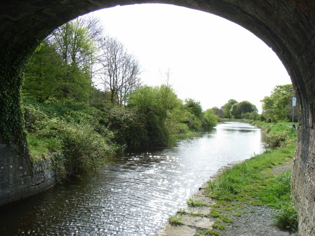
Single-arch hump-backed canal bridge carrying small road over Royal Canal, built c.1806. Constructed of dressed limestone with ashlar limestone detailing, including a projecting string course at parapet base level/road level, voussoirs to arch and coping over parapet walls. Towpath runs under bridge to the west. Located to the southeast of Mullingar Town with rubble limestone walls running away to either end of bridge. Canal lock gates located adjacent to the north having timber balance arms and cast-iron fittings.
This official record and map point do not grant access. Most recorded buildings are privately owned; view them only from public ground unless the owner allows entry.