Add your own picture and explain the route, parking, gates, paths or landmarks that help people find it.
Earn 5 points after the picture is checked and accepted.
Add your photo and local directionsShare what you foundWhat is recorded here
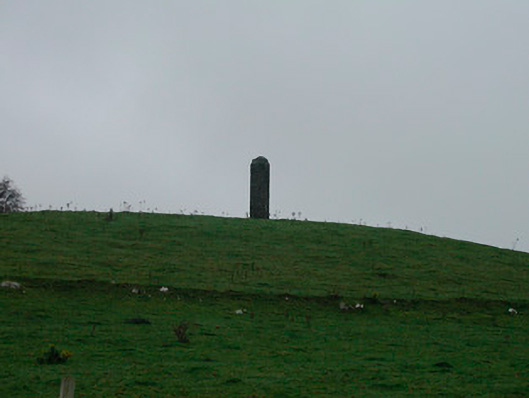
Freestanding pillar/monument/folly on circular plan and c. five metres in height, dated 1769. Built in rubble limestone with projecting cut stone band at a high level and a shallow domed rubble limestone cap over. Cut stone date stone incised ‘1769’. Located two miles to the east of Glassan on a hilltop with panoramic views over the local countryside.
This official record and map point do not grant access. Most recorded buildings are privately owned; view them only from public ground unless the owner allows entry.