Add your own picture and explain the route, parking, gates, paths or landmarks that help people find it.
Earn 5 points after the picture is checked and accepted.
Add your photo and local directionsShare what you foundWhat is recorded here
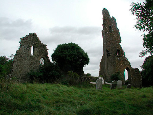
Fragmentary ruins of a late medieval church built, c.1500, on the site of an earlier church. Altered, c.1810, to act as a folly associated with the Killua Castle (15306023). Constructed of rubble limestone with dressed stone surrounds to the square-headed, ogee-headed and pointed-arched window and door openings. Set in an enclosure/graveyard on an irregular plan and surrounded by collection of grave markers of mainly eighteenth and nineteenth-century date. Located to the southwest of Killua Castle within former demesne grounds.
This official record and map point do not grant access. Most recorded buildings are privately owned; view them only from public ground unless the owner allows entry.