Add your own picture and explain the route, parking, gates, paths or landmarks that help people find it.
Earn 5 points after the picture is checked and accepted.
Add your photo and local directionsShare what you foundWhat is recorded here
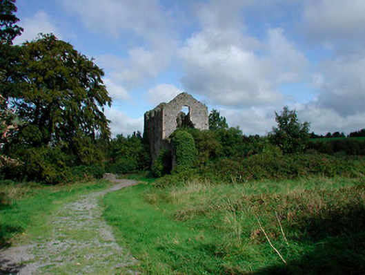
Detached three-bay four-storey former corn mill, built c.1790, now in ruins. Two-bay two-storey extension to southwest. Original pitched natural slate roof now collapsed. Constructed of rubble limestone with lime rendered over, brick quoin detailing to corners. Square-headed and segmental-headed window openings, some with stone lintels. Square-headed door openings with stone lintels over. Remains of millrace to north running east-to-west. Access gained through gateway with rubble limestone piers (on circular plan) to southeast, flanked by sections of rubble limestone walling. Single-arched bridge over stream to southwest. Located to the north of Kilbeggan adjacent to the River Brosna.
This official record and map point do not grant access. Most recorded buildings are privately owned; view them only from public ground unless the owner allows entry.