Add your own picture and explain the route, parking, gates, paths or landmarks that help people find it.
Earn 5 points after the picture is checked and accepted.
Add your photo and local directionsShare what you foundWhat is recorded here
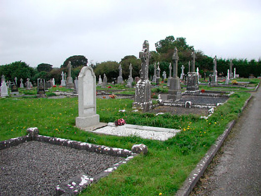
Graveyard on rectilinear plan, consecrated c.1890, having a variety of twentieth-century grave markers. Bounded by random rubble stone wall to the northeast with rendered gateway on a crescent plan and wrought-iron gates. Tree lined approach from the southeast. Roman Catholic church to south east.
This official record and map point do not grant access. Most recorded buildings are privately owned; view them only from public ground unless the owner allows entry.