Add your own picture and explain the route, parking, gates, paths or landmarks that help people find it.
Earn 5 points after the picture is checked and accepted.
Add your photo and local directionsShare what you foundWhat is recorded here
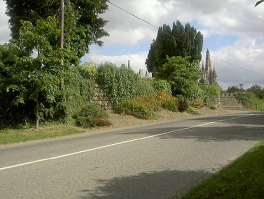
Raised curvilinear graveyard, with interments from c. 1600. Enclosed by herringbone dry stone walling, elaborate stone entrance gate to west dated 1868. Range of headstones from unmarked grave markers to Celtic cross style, dating up to 1998. Mausoleum to north-east, keystone dated 1777 and interment date of 1822, undulating ground to interior, no trace of church remains. Fronts onto roadway.
This official record and map point do not grant access. Most recorded buildings are privately owned; view them only from public ground unless the owner allows entry.