Add your own picture and explain the route, parking, gates, paths or landmarks that help people find it.
Earn 5 points after the picture is checked and accepted.
Add your photo and local directionsShare what you foundWhat is recorded here
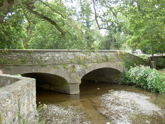
Double-arch road-over-river bridge, dated 1799. Roughly squared coursed rubble spandrels and parapet, tooled ashlar string at deck level, tooled ashlar saddle-back coping stones to parapets. Two segmental-headed arches, dressed stone voussoirs and crossettes, V-cutwater to east and west with chamfered tooled stone string course and pyramidal cap, circular opening above cutwaters surrounded by dressed stone surround, oval-shaped plaque to east external wall, tooled chamfered stone surround, "TERMONFECKIN BRIDGE 1799". Squared coursed piers with tooled shallow pyramidal caps, coursed random rubble leading walling. Bitmac double carriageway, hump-backed, stone wheel guards, spans river at south of village.
This official record and map point do not grant access. Most recorded buildings are privately owned; view them only from public ground unless the owner allows entry.