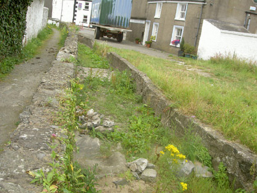
Add your own picture and explain the route, parking, gates, paths or landmarks that help people find it.
Earn 5 points after the picture is checked and accepted.
Add your photo and local directionsShare what you foundWhat is recorded here
Former millrace, built c. 1650, running north-east to south-west, becoming culvert to south-west, now disused. Rubble stone walling, soldier coping to south wall, whitewashed walling to south-west, drain to mid-section of south wall, stone lined culvert going beneath street to south-west. Set to side of lane running eastwards off Dundalk Street, remains of Dominican Abbey to north.
This official record and map point do not grant access. Most recorded buildings are privately owned; view them only from public ground unless the owner allows entry.