Add your own picture and explain the route, parking, gates, paths or landmarks that help people find it.
Earn 5 points after the picture is checked and accepted.
Add your photo and local directionsShare what you foundWhat is recorded here
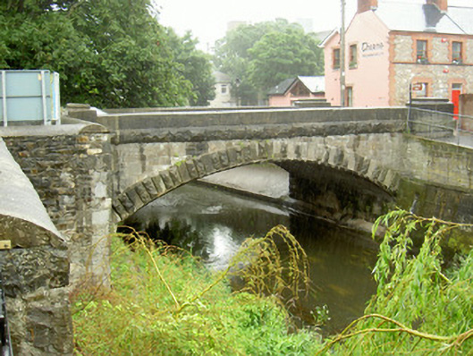
Single-span road bridge over river, built c. 1860. Tooled squared-and-snecked stone spandrels, tooled ashlar parapets with curved top surface, rock-faced string course at deck level, rock-faced stone bases. Segmental-headed arch with dressed stone voussoirs alternating between double rock-faced voussoirs. Rock-faced stone plinth to flanking piers surmounted by single course of larger rock-faced stones surmounted by seven courses alternating between V-jointed plain and rock-faced stones. Rock-faced dressed string course on main span continues at deck level onto piers with tooled ashlar shallow pyramidal caps. Utility pipes fixed to east face. Bitmac double carriageway, concrete slabs and kerbs to pedestrian footpaths to east and west sides, road surface slightly ramped from north to south. Rubble stone boundary wall with ashlar coping on approach from north. Landscaped wooded area to north-east. Bronze plaque on south-west inner pier face recording the Ford of Felia and commemorative bronze sculpture to north-west. Spans Dee River at south end of town. Concrete culverts to south bank on east side.
This official record and map point do not grant access. Most recorded buildings are privately owned; view them only from public ground unless the owner allows entry.