Add your own picture and explain the route, parking, gates, paths or landmarks that help people find it.
Earn 5 points after the picture is checked and accepted.
Add your photo and local directionsShare what you foundWhat is recorded here
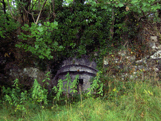
Freestanding single-bay lime kiln, built c. 1825, on a square-plan with splayed projecting walls to the front (south). Now out of use and overgrown. Constructed of random rubble stone. Stepped segmental-headed arches to front (south) having brick voussoirs to arches. Square-headed opening to front, the former oven aperture, having rubble stone surround. Former loading bay to top of kiln, now overgrown. Earth embankment to rear (north). Located in the grounds of Newcastle Demesne, to the east of the main house (13402709) and to the south of complex of outbuildings/stable block (13402710), and to the east of Ballymahon.
This official record and map point do not grant access. Most recorded buildings are privately owned; view them only from public ground unless the owner allows entry.