Add your own picture and explain the route, parking, gates, paths or landmarks that help people find it.
Earn 5 points after the picture is checked and accepted.
Add your photo and local directionsShare what you foundWhat is recorded here
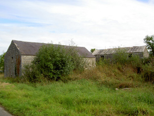
Detached two-storey former corn mill complex , built c. 1800 and extended c. 1860, comprising a multiple-bay two-storey former corn mill, c. 1800, to the west and a two-storey former corn drying kiln to the east, built c. 1860. Now out of use. Internal undershot iron water wheel to centre of former corn building having timber louvers; set in semi-circular opening having roughly dressed stone voussoirs to arch. Projecting canopied projection to the south having lean-to corrugated-metal roof supported on wrought-iron I-beams. Pitched natural slate roof with iron rooflights, and with roughly coursed rubble limestone construction to former corn mill. Iron rooflights. Square-headed window and door openings having remains of timber windows and timber battened doors. Wrought-iron security bars to a number of window openings. Timber machinery with iron fittings for driving three sets of mill stones and sifting machinery survives to the interior. Detached multiple-bay two-storey corn drying kiln to northeast of corn mill, built c. 1860, having projecting single-storey section to west elevation with walkway over having wrought-iron railings. Upper storey of kiln connected to upper storey of former mill via a concrete footbridge, c. 1940. Single-storey outbuilding attached to north end of corn drying kiln. Pitched corrugated-asbestos roof. Roughly coursed rubble limestone walls. Square-headed window openings and square-headed door openings with remains of timber fittings. Clay drying tiles surviving to upper storey floor, with timber and limestone constructed heating apparatus to ground floor. Located on roadside, with former millrace running parallel to road (running south to north). Former mill pond to the south of mill, now silted-up. Located to the southwest of Killashee.
This official record and map point do not grant access. Most recorded buildings are privately owned; view them only from public ground unless the owner allows entry.