Add your own picture and explain the route, parking, gates, paths or landmarks that help people find it.
Earn 5 points after the picture is checked and accepted.
Add your photo and local directionsShare what you foundWhat is recorded here
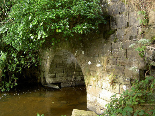
Single-arch road bridge over tributary of Camlin River, built c. 1860. Segmental-headed arch with rock-faced voussoirs and having squared rubble stone construction to abutments and barrel. Dressed coursed squared rock-faced ,masonry construction to spandrel walls. Coursed rock-faced parapets with dressed limestone coping over. Parapet walls curve outwards (away from road) to either side with dressed rock-faced piers (on square-plan) to either side having dressed capstones over. Pier to the southwest end of parapet to the west now collapsed. Located along approach avenue to Cloonfin/Clonfin House (demolished). Located to the southwest of Granard.
This official record and map point do not grant access. Most recorded buildings are privately owned; view them only from public ground unless the owner allows entry.