Add your own picture and explain the route, parking, gates, paths or landmarks that help people find it.
Earn 5 points after the picture is checked and accepted.
Add your photo and local directionsShare what you foundWhat is recorded here
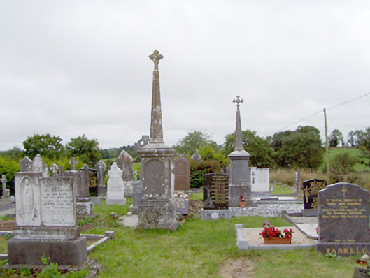
Graveyard on sub rectangular-plan, of indeterminate date (probably originally pre-1700), containing collection of cut stone, marble and concrete grave markers, mainly dating to the nineteenth and twentieth centuries. Number of eighteenth-century memorials and collection of uninscribed upright and recumbent stone grave markers to site. Graveyard still in use. Timber and concrete stations of the cross on border of graveyard. Coursed rubble limestone boundary wall to the north with pair of ashlar limestone gate piers (on square-plan) having carved capstones and single leaf wrought-iron flat bar gate. Flight of rough limestone steps/stile to west of gateway. Located on a small hill to the north of Ballinamuck. Site bounded by a stream to the south. Holy well (LF002-006001-) and a holy hawthorn tree/bush (LF002-006005-), tied with rags, located to the southwest corner of site.
This official record and map point do not grant access. Most recorded buildings are privately owned; view them only from public ground unless the owner allows entry.