Add your own picture and explain the route, parking, gates, paths or landmarks that help people find it.
Earn 5 points after the picture is checked and accepted.
Add your photo and local directionsShare what you foundWhat is recorded here
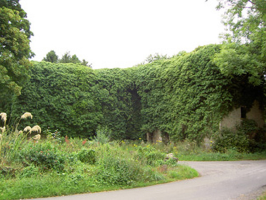
Detached multiple-bay four-storey former flour mill on L-shaped plan, built c. 1800, now disused. Roof now collapsed. Roughcast rendered roughly coursed limestone walls. Square-headed window openings with tooled cut limestone sills. Square-headed door openings. Machinery now removed. Set at a bend in the road at the north end of a mill complex incorporating millrace to the west of site and interconnecting millponds to south. Tooled carved monolithic limestone gate pier to east of site. Former bathing house at edge of millpond to south of site, of roughly coursed limestone construction and having cast-iron boat rings to pond elevation. Located to the west of Keenagh.
This official record and map point do not grant access. Most recorded buildings are privately owned; view them only from public ground unless the owner allows entry.