Add your own picture and explain the route, parking, gates, paths or landmarks that help people find it.
Earn 5 points after the picture is checked and accepted.
Add your photo and local directionsShare what you foundWhat is recorded here
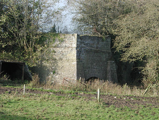
Freestanding single-bay two-stage lime kiln, c.1825, on a square plan. Now disused. Random rubble limestone walls with base batter having dressed limestone tapered buttress piers, and dressed limestone quoins to corners to upper stage (coping now missing). Pointed-segmental-headed oven aperture with tooled cut-limestone voussoirs, and lining not visible. Set back from road in grounds of quarry with random rubble stone boundary wall to perimeter of site having cut-limestone rounded coping.
This official record and map point do not grant access. Most recorded buildings are privately owned; view them only from public ground unless the owner allows entry.