Add your own picture and explain the route, parking, gates, paths or landmarks that help people find it.
Earn 5 points after the picture is checked and accepted.
Add your photo and local directionsShare what you foundWhat is recorded here
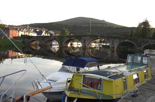
Seven-arch hump back road bridge over river, built 1764-7. Damaged, 1798. Part creeper- or ivy-covered coursed rubble limestone walls centred on submerged triangular cutwaters to piers having cut-granite pyramidal capping with cut-granite coping to parapets. Series of seven segmental arches between round-headed niches with rusticated cut-granite block-and-start voussoirs centred on cut-granite double keystones. Sited spanning River Barrow with grass banks to river.
This official record and map point do not grant access. Most recorded buildings are privately owned; view them only from public ground unless the owner allows entry.