Add your own picture and explain the route, parking, gates, paths or landmarks that help people find it.
Earn 5 points after the picture is checked and accepted.
Add your photo and local directionsShare what you foundWhat is recorded here
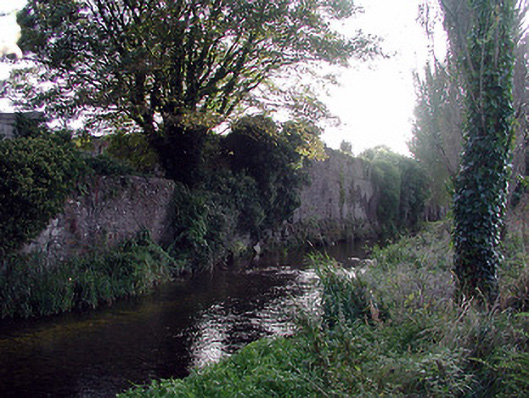
Section of random rubble limestone wall, c.1750, originally forming part of larger composition possibly originally having industrial associations. Remainder of composition demolished, post-1840. Random rubble limestone walls with sections of red brick irregular bond construction having square apertures (possibly originally supporting lean-to roof construction). Camber-headed window openings with no sills, and red brick voussoirs (now blocked-up with random rubble limestone infill). Some square-headed slit-style apertures with no fittings. Round-headed opening possibly originally forming culvert with cut-limestone voussoirs. Set perpendicular to road overlooking Nuenna River with pair of squared rubble limestone piers having rendered pyramidal capping, and iron double gates having spear-head finials.
This official record and map point do not grant access. Most recorded buildings are privately owned; view them only from public ground unless the owner allows entry.