Add your own picture and explain the route, parking, gates, paths or landmarks that help people find it.
Earn 5 points after the picture is checked and accepted.
Add your photo and local directionsShare what you foundWhat is recorded here
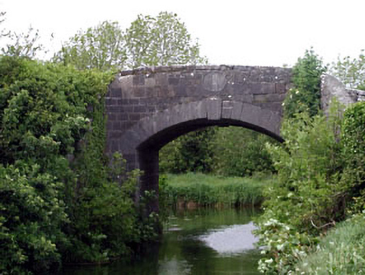
Single-arch cut-stone hump back road bridge over canal, dated 1788, with dressed stone voussoirs, keystone and cut-stone parapet walls having oblong cut-stone date stone/plaque. Coursed cut-stone walls to abutments. Cut-stone walls to parapet walls. Cut-stone date stone/plaque. Cut-stone coping. Single segmental arch. Dressed stone voussoirs with keystone. Brick soffits. Sited spanning Grand Canal at junction of Athy and Milltown branches with tow path and grass banks to canal.
This official record and map point do not grant access. Most recorded buildings are privately owned; view them only from public ground unless the owner allows entry.