Add your own picture and explain the route, parking, gates, paths or landmarks that help people find it.
Earn 5 points after the picture is checked and accepted.
Add your photo and local directionsShare what you foundWhat is recorded here
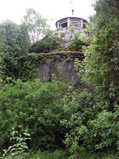
Freestanding single-bay double-height rubble stone mash house, c.1800, on a circular plan with conical roof having timber lantern to apex on an octagonal plan. Now disused and part derelict. Conical roof with slate. Timber lantern to apex on an octagonal plan with louvered timber panels having copper-sheeted domed roof over with weathervane. Coursed squared rubble limestone walls. Cut-stone stringcourse and course to eaves. Round-headed openings to ground floor (no openings to first floor). Block-and-start surrounds. Fittings now gone. Interior now derelict. Brick-lined internal walls continuing into domed roof with opening to lantern. Set back from road in grounds shared with distillery buildings.
This official record and map point do not grant access. Most recorded buildings are privately owned; view them only from public ground unless the owner allows entry.