Add your own picture and explain the route, parking, gates, paths or landmarks that help people find it.
Earn 5 points after the picture is checked and accepted.
Add your photo and local directionsShare what you foundWhat is recorded here
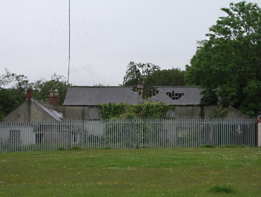
Detached single- and two-storey former farm house and outbuildings, c.1835, on a U-plan around yard. Now derelict. L-plan dwelling comprising two-storey northern section with gabled porch, and single-storey eastern section. Roughcast rendered walls, square-headed openings and pitched slate roofs throughout, eastern section having red brick chimney stacks. Detached single-storey outbuilding to south with coursed rubble stone walls, partly roughcast rendered, and pitched slate roof. Tubular steel gate to entrance, now blocked.
This official record and map point do not grant access. Most recorded buildings are privately owned; view them only from public ground unless the owner allows entry.