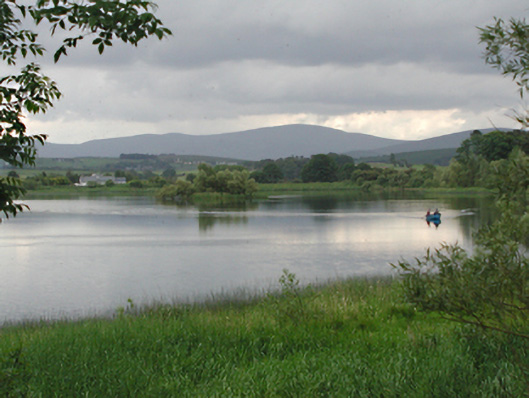
Add your own picture and explain the route, parking, gates, paths or landmarks that help people find it.
Earn 5 points after the picture is checked and accepted.
Add your photo and local directionsShare what you foundWhat is recorded here
Large pair of interconnected former mill ponds/reservoirs, c.1825, on a watershed between hills, the northern one of which is now dry. Hill streams have been routed to fill the southern pond, which has been dammed with stone and turf banks in the south and which emptied into the northern pond, which is also dammed. The northern pond formerly drained north into the Swift Brook and supplied several mills, primarily the Swiftbrook Mill in Saggart. Between the two ponds is a third dam, overflow and sluice, now inoperative.
This official record and map point do not grant access. Most recorded buildings are privately owned; view them only from public ground unless the owner allows entry.