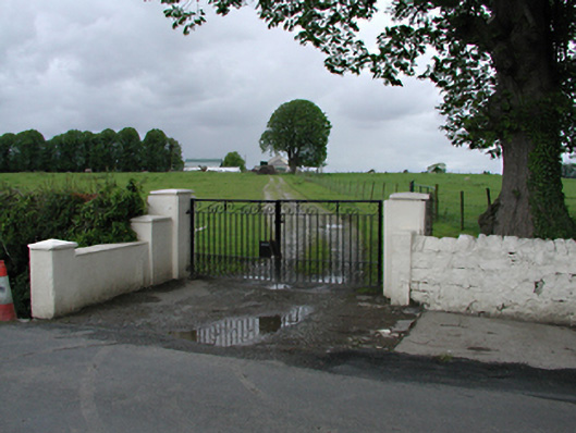
Add your own picture and explain the route, parking, gates, paths or landmarks that help people find it.
Earn 5 points after the picture is checked and accepted.
Add your photo and local directionsShare what you foundWhat is recorded here
Detached two-storey former farmhouse, built c.1850, now disused. Single-storey extension to east. Casement windows in east elevation. Rendered chimneystack to gable. Pitched slate roof, possibly truncated about its axis. Single-storey rubble stone byre to south. Rendered gate piers and stone arched bridge over stream at entrance. Ancillary buildings around courtyard include barns, stables and workshops.
This official record and map point do not grant access. Most recorded buildings are privately owned; view them only from public ground unless the owner allows entry.